- Vertical drop
- More than 2,700 m
- Ecological zones
- 5
- From
- Glacier, 4,650 m
- To
- Cloud forest, 1,900 m
- Orchid species
- 300+ in the cloud forest
What truly sets the Salkantay Trek apart is its passage through five dramatically different ecological zones — a spectacular range of natural diversity inside a single journey. From high mountain glaciers to tropical cloud forest, each zone brings its own flora, fauna, challenges and rewards.
Why this route crosses five zones
The route descends from the snow line near the 4,630 m Salkantay Pass all the way to subtropical cloud forest above Aguas Calientes — a vertical drop of more than 2,700 metres. That single continuous descent is what lets the trek pass through five separate ecosystems in a few days, each with its own elevation band, climate, plant life and wildlife.
Below, the zones appear in the order you actually walk them, from glacier to forest. The route guide maps them onto specific days.
1. Alpine tundra & glacial zone
Elevation: 4,600–4,650 m (15,092–15,256 ft)
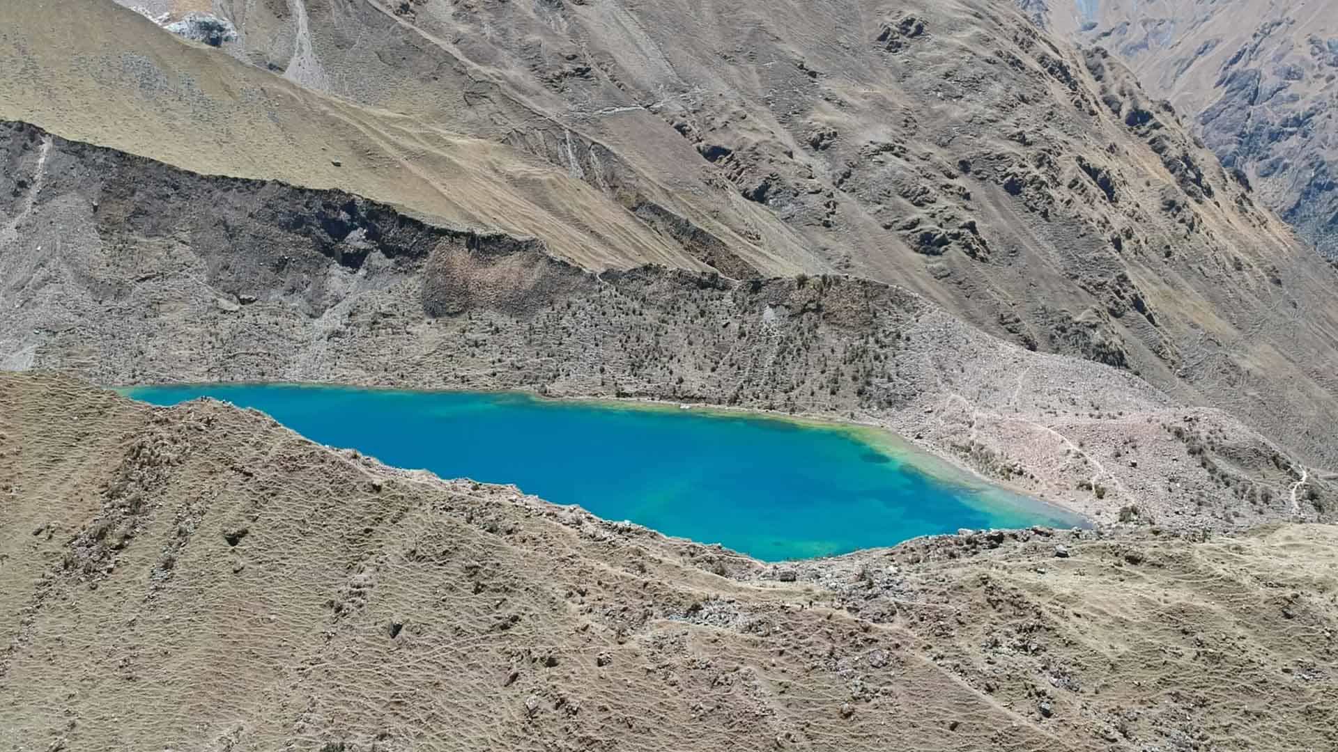
The trek begins in high Andean alpine tundra near Soraypampa: sparse vegetation, rocky ground, and the snow-capped peaks directly overhead. Hardy grasses, cushion plants and lichens dominate, adapted to extreme daily temperature swings and fierce UV.
Notable flora & fauna
- Yareta (Azorella compacta) — cushion plants that grow about 1.5 cm a year
- Andean geese
- Occasional Andean condor sightings
- Alpine wildflowers in the summer months
2. High Andean grasslands (puna)
Elevation: 3,900–4,600 m (12,795–15,092 ft)
Descending from the pass you enter the puna: expansive grassland dominated by ichu. This zone swings hardest between night and day, often freezing after dark and warming considerably under the sun.
Notable flora & fauna
- Ichu grass (Stipa ichu)
- Ground-nesting birds
- Vizcachas — rabbit-like, but related to chinchillas
- Occasional Andean foxes
3. Queñua / Polylepis forest
Elevation: 3,200–3,900 m (10,499–12,795 ft)
A rare high-altitude forest of native Polylepis — locally queñua — among the highest-growing trees in the world. Often shrouded in mist, it is one of the strangest and most atmospheric stretches of the whole route.
Notable flora & fauna
- Polylepis trees with distinctive peeling red bark
- Bromeliads and epiphytes
- Giant hummingbirds
- Royal cinclodes — an endangered bird species
4. High jungle (ceja de selva)
Elevation: 2,500–3,200 m (8,202–10,499 ft)
The “eyebrow of the jungle”: the transition between mountain and Amazon. Humidity climbs, fern forests take over, and the first genuinely tropical vegetation appears alongside coffee and fruit plantations.
Notable flora & fauna
- Tree ferns
- Wild orchids
- Rooster-of-the-rock — Peru’s national bird
- Numerous butterfly species
5. Cloud forest
Elevation: 1,900–2,500 m (6,234–8,202 ft)
The final zone before Aguas Calientes. Perpetually humid and often inside the cloud itself, it is moss-covered, loud with birds and insects, and carries an extraordinary density of orchid species.
Notable flora & fauna
- Over 300 orchid species
- Heliconia flowers
- Cock-of-the-rock and tanagers
- Blue morpho butterflies
What five ecosystems mean for your bag
This is the practical consequence of all that biodiversity: you need to dress for freezing nights at Soraypampa and for humid subtropical afternoons near Santa Teresa, in the same pack. Layering is not optional on this route — see the packing list for the specifics, and the seasons guide for how much rain to expect in each zone.
Every one of our itineraries crosses all five zones. The classic 5-day trek does it at the standard pace; the 8-day route lingers longer in the forest zones for anyone who came primarily for the wildlife.