- Duration
- 7 days
- Highest point
- 4,630 m / 15,190 ft
- Max group
- 12 trekkers
- From
- $798 was $900
- Starts
- Cusco
- Ends
- Cusco
Complete Salkantay Experience: 7 Days from Cusco to the Ancient Citadel with local experts.
This South America Adventure Tour includes two nights of acclimatization in Cusco before the Trek, the complete 4 days Salkantay Trail to Machu Picchu with an overnight by Machu Picchu in the town of Aguas Calientes Machu Picchu Pueblo and back to Cusco for a last night.
The Cordillera Vilcabamba is an impressive range of mountains which include the massive Salkantay snowcapped mountain (6,264m) and three others over 6000m. Salkantay is an outstanding snow peak, located less than fifty miles northwest of the city of Cusco in south central Peru. It is the highest mountain of the Cordillera. Because of its proximity to the city, it is easily accessible and is climbed frequently.
In order to complete this Peru Trek, you need to have a reasonable level of fitness, age shouldn't be a barrier. The most important thing is to be well acclimatized to the altitude. The maximum height above sea level along the way is 4600 m (15092 ft), that is why we include 2 days in Cusco before the trek. This period is ideal for visiting the city of Cusco, the nearby ruins of Sacsayhuaman and the beautiful Sacred Valley of the Incas.
This route needs no trekking permit — unlike the Inca Trail's 500-a-day quota — so you can book weeks rather than months ahead. If you are still choosing between the two routes, read Salkantay versus the Inca Trail, or compare all five of our treks.
Price and what you pay
2026 package price
Machu Picchu via Salkantay & Cusco
Per adult, double occupancy. Machu Picchu entrance ticket included.
- Student discount (under 26, valid ID)−$30
- Single supplement (own tent & room)+$129
- Deposit to reserve$250
- Trip codeSALK7D
Full breakdown of what is and isn’t included is in the cost guide; deposit and payment terms are on the booking information page.
Day by day
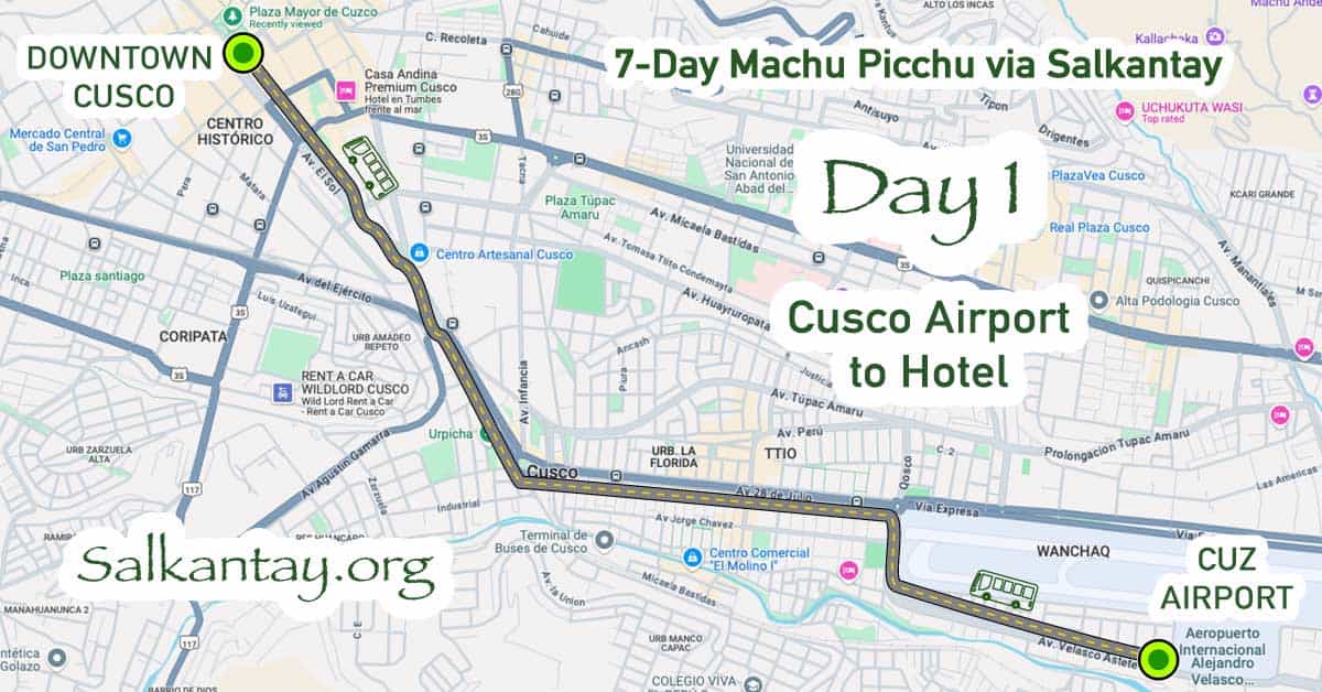
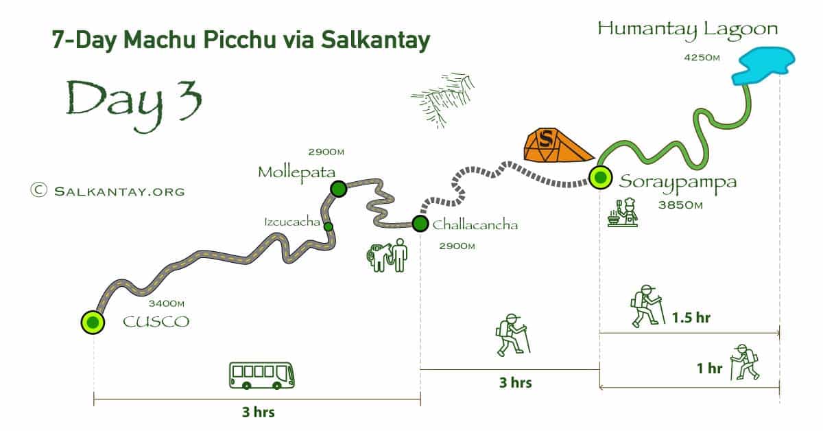
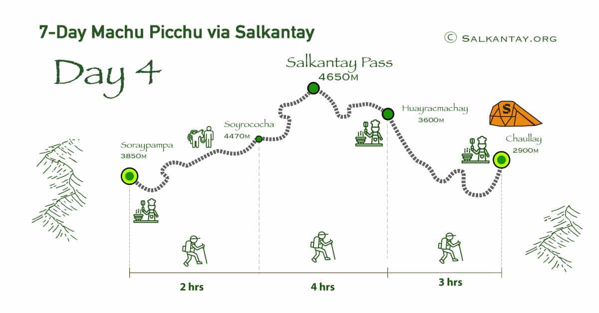
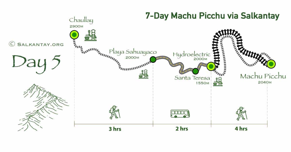
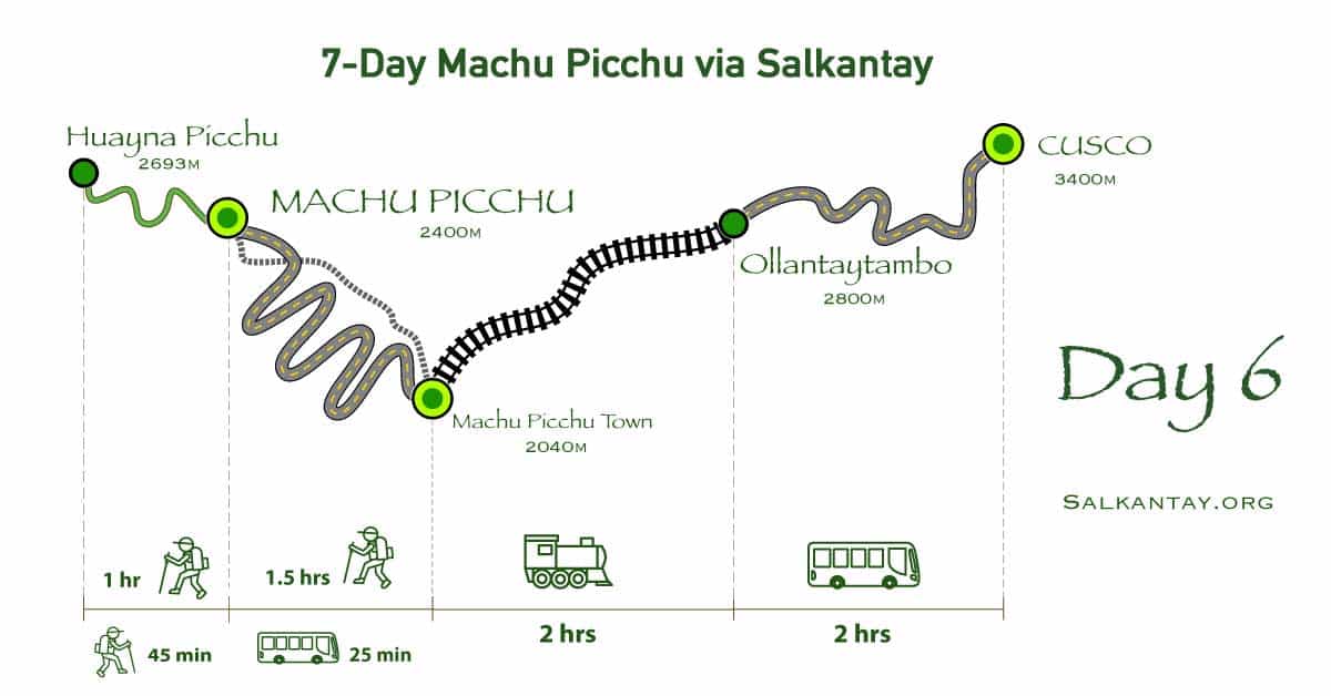
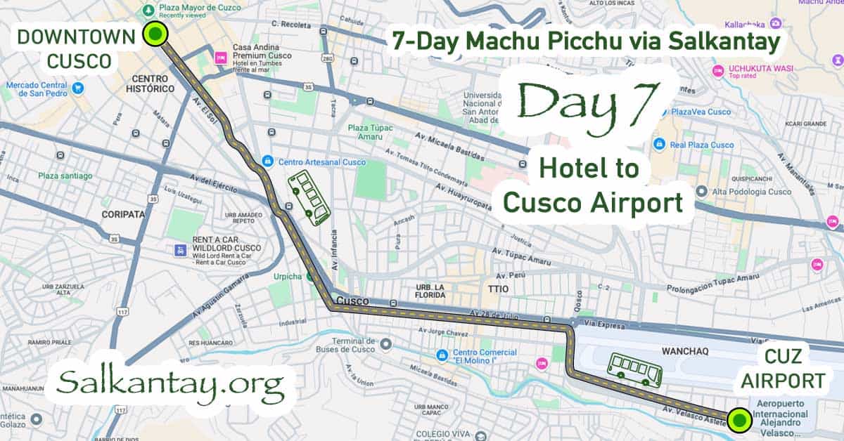
7 days from Cusco to Cusco. Full distances and the elevation profile are in the route and map guide.